Information on this site is advertising in nature

Our Approach to Geographical Education

Combining field experience with academic rigor

Founded on Curiosity

Flux-fell emerged from a simple observation: most people move through landscapes without truly seeing them. They notice beauty but miss the processes that created it. They walk on ancient rocks without understanding their age or origin.

We established our programmes to bridge this gap, offering structured opportunities to develop genuine geographical literacy. Our approach emphasizes direct observation, systematic analysis, and the cultivation of what geographers call "spatial thinking."

Every British landscape represents millions of years of geological activity compressed into visible forms. Our role is to help you read these forms as evidence, transforming casual observation into informed understanding.
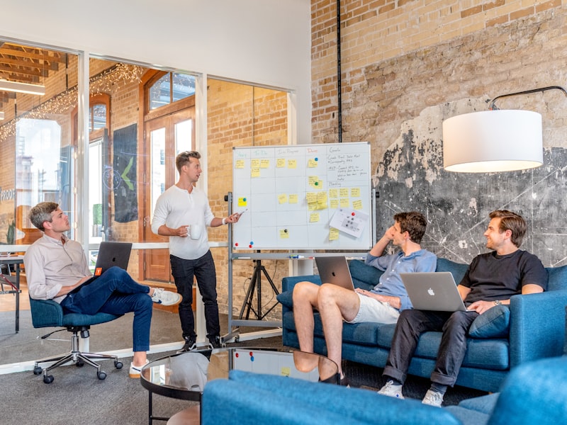

Educational team collaborating over geographical maps and field notes
Field research equipment and documentation materials

Field-First Methodology

We reject purely theoretical approaches. Geography becomes meaningful only when you stand on the actual terrain, observe the slope angles, feel the soil composition, and trace the water flow patterns yourself.

Each programme balances three elements: preparatory knowledge, active fieldwork, and analytical synthesis. You'll spend significant time outdoors, engaging directly with the features you're studying, supported by instructors who facilitate discovery rather than simply delivering information.

This method develops observational skills that transfer beyond geography, sharpening your ability to notice patterns, question assumptions, and build evidence-based conclusions.

Guiding Principles

Accuracy Over Simplification

We present geographical concepts with appropriate complexity, trusting participants to engage with nuance rather than reducing ideas to oversimplified narratives.

Evidence-Based Interpretation

Every explanation we offer connects to observable evidence in the landscape, encouraging critical evaluation rather than passive acceptance.

Accessibility Without Compromise

We design programmes for diverse experience levels while maintaining intellectual rigor, ensuring accessibility doesn't mean diminished quality.

Continuous Adaptation

Our curriculum evolves with current research, incorporating new methodologies and findings as they emerge in the geographical sciences.

Experienced Instructors

Our teaching team consists of professionals who maintain active involvement in geographical research and practice. They bring current knowledge from ongoing projects, whether surveying coastal erosion, mapping urban development, or studying hydrological systems.

This isn't about credentials displayed on walls. It's about instructors who can explain complex phenomena clearly because they encounter them regularly in their own work.

You'll learn from individuals who chose geography not as an abstract academic pursuit but as a practical tool for understanding how the world functions.

Detailed topographic analysis and documentation process

Long-Term Impact

We measure success not by immediate satisfaction scores but by whether participants continue applying geographical thinking months and years later. Do they notice drainage patterns when traveling? Do they question why cities developed in particular locations? Do they read landscapes more critically?

This sustained engagement represents genuine learning—the kind that reshapes how you perceive and interact with physical space permanently.

Explore Programme Options