Highland Terrain Analysis
This intensive field programme takes you into the Scottish Highlands, where glacial processes have sculpted one of Europe's most dramatic landscapes. You'll examine the physical evidence of ice sheet movement, study the formation of corries and U-shaped valleys, and analyze how post-glacial erosion continues to reshape these ancient terrains.
Programme Components
- Three-day field expedition with overnight accommodation in designated study areas
- Hands-on analysis of metamorphic rock samples and their formation processes
- Mapping exercises using professional surveying equipment
- Evening seminars covering glacial geomorphology theory
- Individual project developing your own terrain analysis report
Suitable For
Participants with basic geographical knowledge seeking advanced field experience. Physical fitness required for hillwalking and extended outdoor periods.
Enquire About This Programme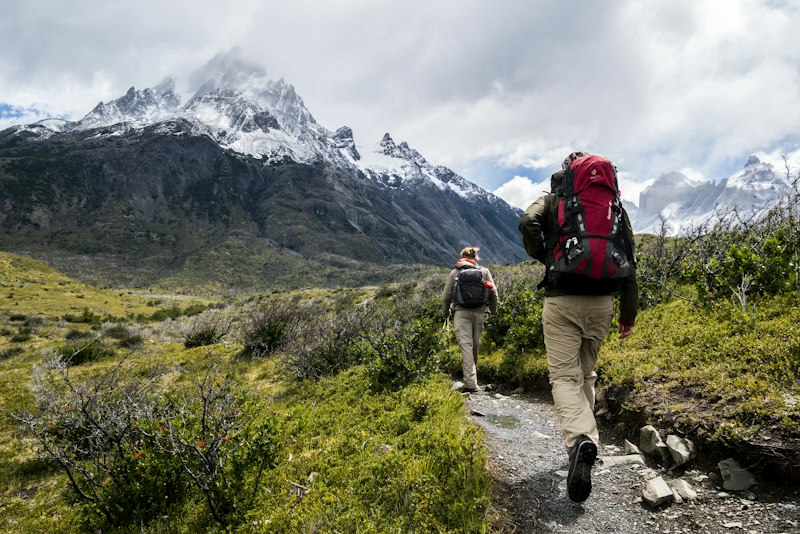

Coastal Geomorphology Workshop
Britain's coastline serves as a living laboratory for understanding dynamic geomorphological processes. This workshop focuses on the interactions between wave energy, tidal ranges, geology, and coastal forms.
Programme Components
- Two-day coastal field study at locations selected for geological diversity
- Direct observation and measurement of wave action and longshore drift
- Analysis of erosional features including stacks, arches, and wave-cut platforms
- Sediment sampling and classification exercises
- Discussion of coastal management strategies and their geographical implications
Suitable For
Anyone interested in coastal processes, from beginners to those with existing geographical background. Accessible to various physical ability levels.
Enquire About This ProgrammeCartographic Skills Development
Maps represent compressed information systems that require specific literacy to decode effectively. This programme develops your ability to extract, interpret, and create geographical representations.
Programme Components
- Comprehensive workshop covering map projection systems and their distortions
- Practical training with Ordnance Survey maps at various scales
- Introduction to GIS software and digital mapping techniques
- Field exercises translating terrain observations into cartographic form
- Analysis of how different map types serve different purposes
Suitable For
Both beginners seeking foundational skills and experienced map users wanting to formalize their knowledge.
Enquire About This Programme

River Systems Study
Rivers shape more than just channels—they influence settlement patterns, agricultural practices, and regional economies. This programme examines British river systems as both physical and human geographical features.
Programme Components
- Multi-site field study covering upper, middle, and lower course characteristics
- Stream flow measurement and discharge calculation exercises
- Analysis of fluvial landforms including meanders, oxbow lakes, and floodplains
- Investigation of human modifications to river systems and their consequences
- Case studies of flood events and watershed management approaches
Suitable For
Participants interested in hydrological processes and their broader impacts. Moderate physical activity involved.
Enquire About This ProgrammeUrban Geography Immersion
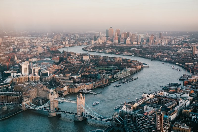
Cities don't develop randomly. Their forms reflect geological constraints, historical decisions, economic pressures, and geographical advantages. This programme decodes the spatial logic of British urban areas.
Programme Components
- Walking tours analyzing how topography influences urban development
- Examination of transport networks and their geographical determinants
- Study of land use patterns and zoning as geographical phenomena
- Analysis of how physical geography creates microclimates within cities
- Discussion of future urban development challenges related to terrain and climate
Suitable For
Those curious about how geography shapes urban life. Entirely walking-based, accessible to most fitness levels.
Enquire About This Programme